If you've done any hiking, you've probably at least heard of AllTrails. One of the leading outdoor navigation and trail databases for phones, the AllTrails hiking app makes going outside more accessible and easier to use.
The base app is free, and AllTrails offers a subscription-based platform called AllTrails+ that brings powerful navigational features to your smartphone, making outdoor exploration easier than before.
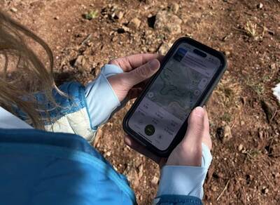
Starting the trek with AllTrails+ to guide me.
I've used the free AllTrails app for years now, but have been curious about the upgraded version. I wanted to put AllTrails+ to the test, so I took my phone and hiking gear to the trails around Boulder, Colorado, to see how the upgrade compares.
First Impressions of AllTrails+
At first, I wasn't sure what to expect with the AllTrails+ and how it differed from the base platform. On the base app, I can look for trails in the area, whether nearby or 800 miles away. When I found trails I wanted to explore, I could save them to reference later. The base app also allowed me to navigate while hiking, and I could leave reviews and condition reports for the trail that other AllTrails users could read.
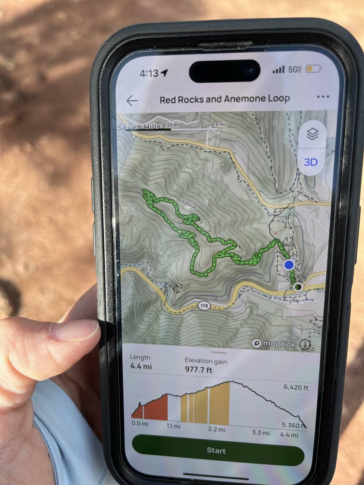
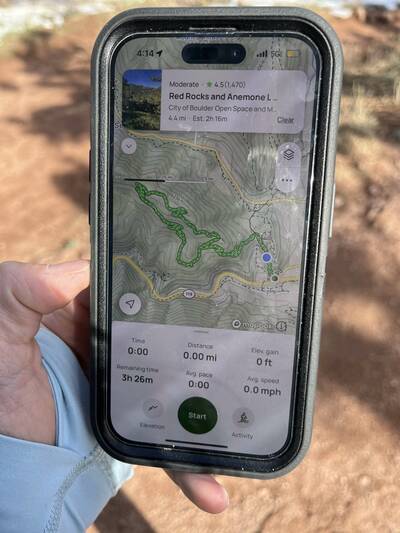
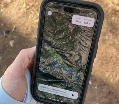
One of the first things that impressed me with the AllTrails+ upgrade was the new trail previews feature. I love looking at a good map, and the trail previews allowed me to check out the terrain and elevation at specific points.
- Checking the route.
- Let's get to hiking.
I could get an immersive preview of any trail. I particularly enjoyed the 3D map, which showcased the hills and valleys in a more interactive way. The app also let me know when I missed a turn, which makes navigating easier and helps keep you on the right trail.
Additionally, I could look up trails by how far away they were, which is convenient for picking out a last-minute day hike. Sometimes you just don't have enough daylight left to drive for hours before you start hiking!
- Look at that detail!
- Onward.
The Best Part of the AllTrails+ Subscription
AllTrails+ brings offline capability to the table, which is the biggest game changer. In the past, when navigating out of service, I had to reference other apps or maps because AllTrails needed to be online.
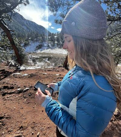
Backcountry bliss. Glad to have the map downloaded out here.
Now, the downloadable maps are one of my favorite features of AllTrails+. This allows for unparalleled navigation — even when I'm out of service. I'm a fan of being able to print off maps to bring on more remote trips and was also stoked to see that AllTrails+ has that feature.
What's also great is that you can get 7 days free of AllTrails+ to test these features for yourself. So go on, give it a try on your next hike.
What do you think of AllTrails+? Have you tested it yourself? Share your thoughts in a comment below.
This post is sponsored by AllTrails.


It’s great review. Thanks a lot